An easy/moderate 9 mile round-trip hike to a historic bridge along San Gabriel River. Visiting on a weekday will give you lots of open space with little crowds but on weekends you can expect lots of people hiking and camping. If you plan on bungee jumping, you will have to visit on a weekend when they have it set up, you can book by clicking here. You may also see gold prospectors mining different areas of the creek on your hike, and yes there is definitely gold. If you were to continue hiking up San Gabriel River past the bridge, you would eventually get to Bighorn Mine which is directly above the river.
Bridge To Nowhere
History
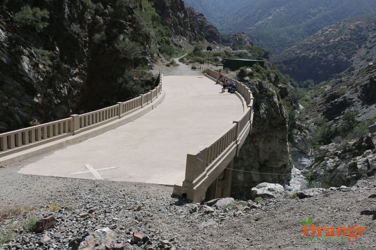
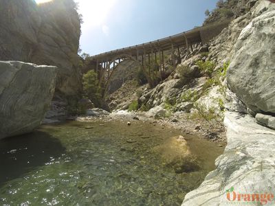
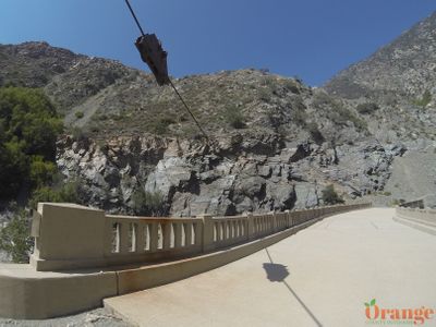
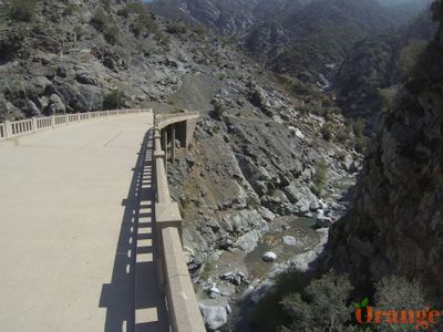
The main bridge known as "Bridge To Nowhere" was built in 1936 along what was to be a route to Wrightwood from the city. There were a few other bridges built along the way which were all washed out by major flooding shortly after their construction. The road itself was still under construction when the area experienced heavy rain and flooding in 1938 causing most of the road to be washed away, therefore leaving this massive bridge standing all alone in the middle of the wilderness. After the flooding, this route was abandoned and another route was created to get to Wrightwood. You will see a few places where some old pavement from the original road still remains and you can see for yourself how difficult the terrain was to build on.



Getting there:
The drive is about 1.5 hours from most of OC. Take 57 north to 210 west then exit Asuza Ave. and go north into the mountains. Asuza Ave. will turn into San Gabriel Canyon Rd. where it will turn into a windy mountain road, passing 2 reservoirs then you'll turn right onto East Fork Rd. then turn left onto Bonita Canyon Rd. which will lead you into the parking area.
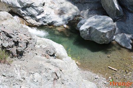
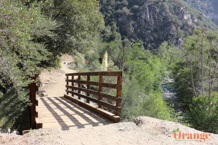
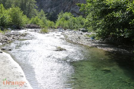
The hiking trail basically follows the San Gabriel River the entire way, you'll be making several river crossings so bring shoes that are comfortable when wet and still have good grip. This river crossings are great because it cools you off, when water flow is low you can easily navigate over rocks to avoid getting wet. You'll see remnants of bridges that got washed out with the floods back in the 1930's. There are also several spots where the trails splits into a few trails but they all pretty much go to the same spot. As you get within about a mile from the bridge, you will need to get onto the upper trail to the right otherwise you'll end up below the bridge and will have to scramble up the rocks past the bridge. The bridge itself is on private property so please respect it just as you would the rest of the forest. If you book a bungee jump, you can follow their guide up in the morning.
